They say an hour of planning can save you 10 hours of work. That’s especially true concerning drone flights – where even a small delay can cause you to miss the shot altogether.
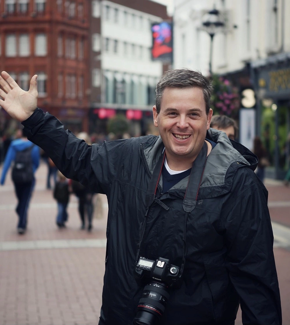
As experienced Rhode Island drone videographers with 13 years of experience, we’ve successfully executed hundreds of drone videography flights, and we know a thing or two about planning for a smooth shoot.
Find our drone videography tips below, learn how you can capture perfect drone footage in one shoot, and discover how to program a drone flight path.
Walk the site
Before you bring your drone into the equation, explore the site on foot. Identify where you’ll take off, your flight path, and your landing zone. Look for potential hazards or obstacles for your drone, like tall trees or powerlines. If you can, try to walk the site during the same time as your planned flight so that you can see the angle of the sun.Check the forecast & your drone weather limitations
Drones are vulnerable to weather fluctuations, and every drone has weather limitations. So, you’ll need to plan your flight on a day with a drone-friendly forecast. Elements to look out for when checking the drone forecast include:- Wind. Strong wind gusts can knock a drone off its flight path. For example, the DJI Inspire 3 can tolerate winds up to 12 mph during takeoff and landing and 14 mph during flight.
- Rain. Rain can enter through a vent and impact a drone’s electronic systems. Even newer water-resistant drones aren’t always safe and shouldn’t fly for long periods in rainy conditions.
- Humidity. Heavy humidity percentages can cause condensation to collect on the drone, which could lead to the same adverse effects as rain.
- Extreme temperatures. Both intense heat and cold can impact a drone’s flight performance and lead to shorter flight times. It’s generally recommended not to fly drones in temperatures below 32℉ or higher than 104℉.
Choose the right time of day
As any photographer knows, lighting can transform a shot’s mood and atmosphere. But while you can change the lighting setup in a studio environment, you have to work with what nature gives you on a drone video shoot.In our opinion, the best time and weather conditions for drone flight generally include the following.
- Early morning. Morning light is warm and soft. You can get a clear overview of your subject matter while avoiding harsh, afternoon shadows. We prefer morning shoots for more general shots, like overviews of construction.
- Golden hour. The hour before sunset creates a dramatic atmosphere, ideal for cinematic shots or overviews of the landscape.
- Cloudy Days. If you must fly during the afternoon, aim for days with greater cloud cover. Cloudy days offer a softer lighting look, helping you avoid the harsh look of a sunny afternoon.
Consider the Sun’s Path
Bright glares can ruin your footage. So, it’s also essential to consider the sun’s position. If you can’t walk the site at the same time as your planned flight, that’s ok. You can still find the angle of the sun with the following resources.- Google Earth. Google Earth Pro allows you to see the sun’s position at a given time at your coordinates. All you have to do is select the “sun” button and drag the time slider to your planned flight time.
- Photo Ephemeris. Photo Ephemeris is a photography program that runs on your desktop’s web browser. It allows you to see a location’s lighting conditions at any given time, including the sunrise and sunset and the sun’s altitude and arc.
- Skyfire. Skyfire runs on the same data set as Photo Ephermis, but on IOS devices, like iPhone and iPad. App support allows you to take the program on the go and track upcoming lighting changes.
Program your drone’s flight path
Once you’ve planned the best route, some drones allow you to arrange an automated flight through “waypoints”, like DJI’s Mavic series.To program a flight with DJI’s waypoint system, follow these steps:
- Install DJI GO, version 4.3.12 or later, on your phone or tablet.
- Connect your device to the drone’s remote controller and turn on both the drone and remote control.
- Open DJI Go and tap “Waypoints” from the intelligent flight menu
- Add waypoint icons on the map, adjusting the altitude and speed as desired
- Add “points of interest” to point the camera in a specific direction during flight. You can click and drag them like you did for the waypoints
- When you’re finished arranging your flight specifications, hit “save” and name the mission. When you’re ready to fly, just load the mission and hit “go.”
Prep for a safe flight
With your flight planned in advance, make sure your drone is working properly. It’s also a good idea to bring along some essential equipment and review your local regulations. A few things to take care of include:- Grab a landing pad. A landing pad can help you avoid landing on dirt or sand that could damage your drone’s motor or blades.
- Bring extra memory cards. 4k footage can fill up a memory card quickly. Make sure you have a spare or two on hand so you don’t miss anything
- Review local no-fly zones. After DJI’s geofencing update, your drone will no longer automatically stop itself from breaching a drone no-fly zone. Make sure to check the FAA’s B4UFLY service to see if drone flight is forbidden near your planned flight zone
A Rhode Island drone videographer for your needs
Even with your best-laid plan in place, capturing the perfect shot can feel overwhelming, especially if you’re a novice pilot.If you’re looking for a professional to get high-quality aerial footage for you, McVeigh Media is here to get the job done. As professional drone videographers with over 12 years of experience, we know how to plan and execute the perfect drone flight so you can get the footage you need with no fuss.
Contact us today to book your flight.
Posted by Sean McVeigh